Ranscomb Bottom, nr Calstone Wellington. Wiltshire. Reported 23rd July.
Map Ref: SU039683
This Page has been accessed
Updated Friday 9th September 2016
Please do not access the field, the farmer does not want visitors
IMAGES & VIDEO THE CROP CIRCLE CONNECTOR COPYRIGHT 2016
Discuss this circle on our Facebook
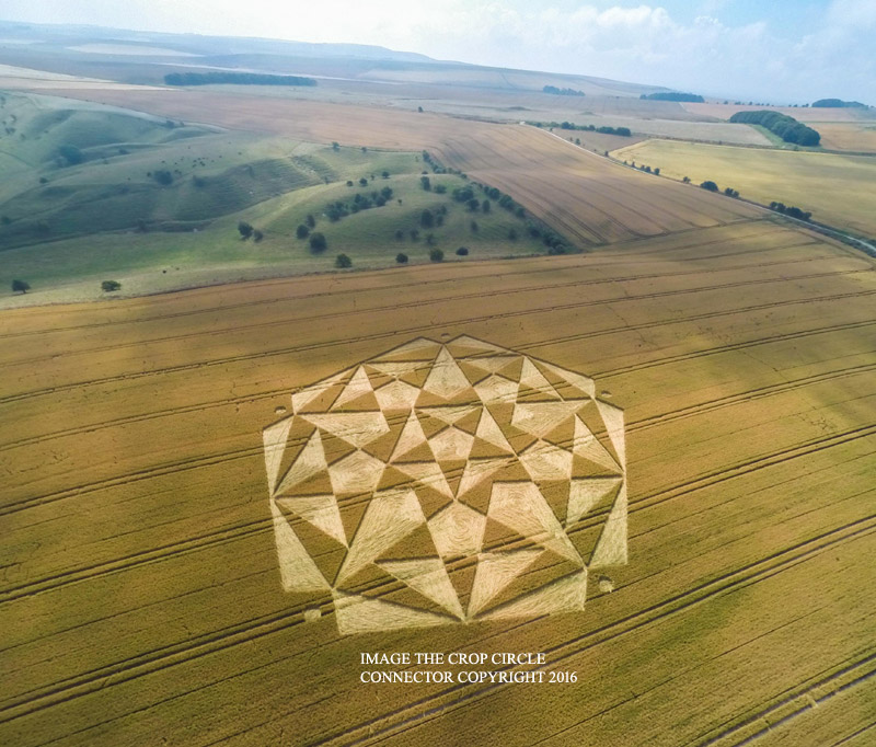
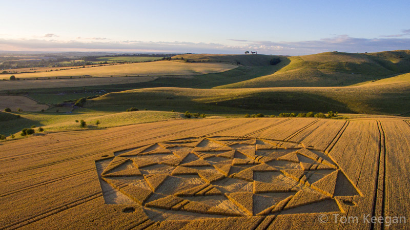
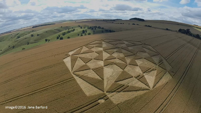
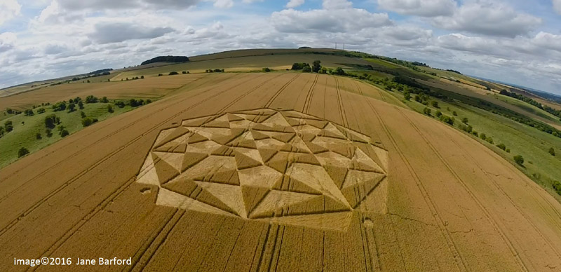
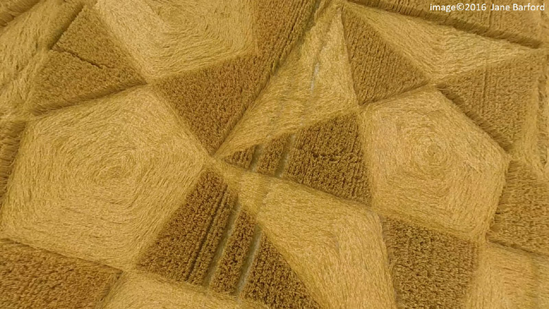
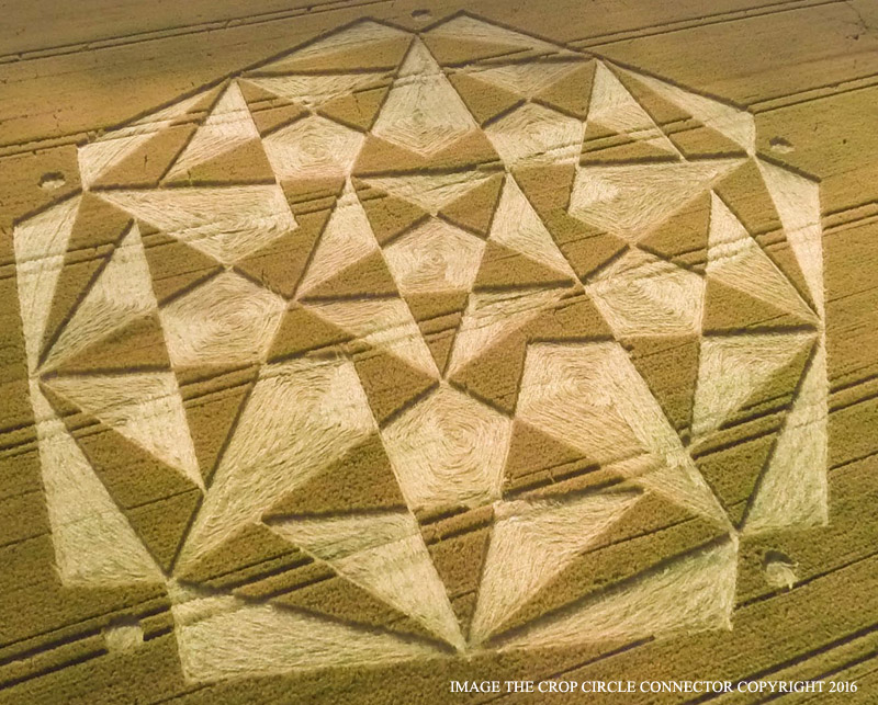
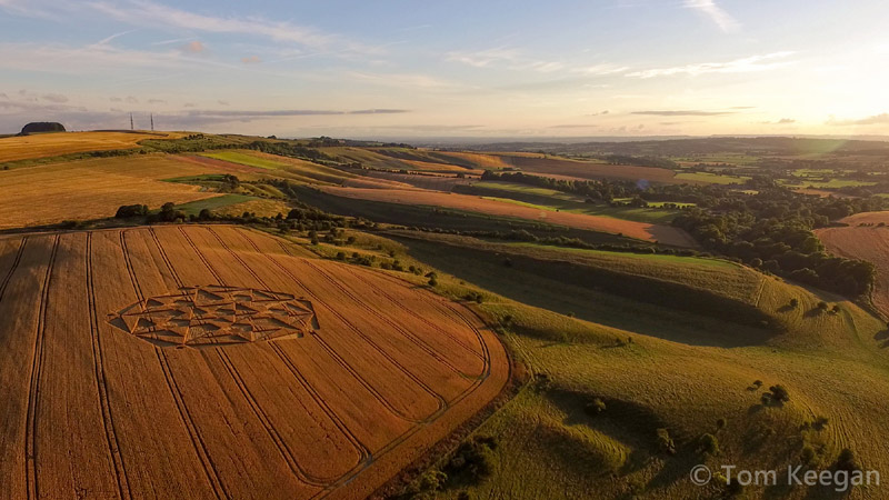
Crop Circles-UFO's-Ancient Mysteries-Scientific Speculations
IMAGES THE CROP CIRCLE CONNECTOR COPYRIGHT 2016
CLICK HERE FOR THE LATEST CROP CIRCLE CONNECTOR DVD
Images MrGyro.co.uk Copyright 2016
Make a donation to keep the web site alive
Images & Video Tom Keegan Copyright 2016
FOR VISITING THE CROP CIRCLES.
Images & Video MegalithomaniaUK Copyright 2016
JOIN THE CROP CIRCLE CONNECTOR MEMBERSHIP NOW ONLINE
Click above to join the Crop Circle Connector Membership
Cherhill, Nr Calne, Wiltshire. 23 July 2016. Wheat. c 580 feet (m 177m) overall. A complex formation containing overlapping pentagrams.
Images Lucy Pringle Copyright 2016 Images Jane Barford Copyright 2016
Images Jane Barford Copyright 2016
BACK
Mark Fussell & Stuart Dike